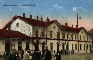
Cât de mare a fost și este Maramureșul?
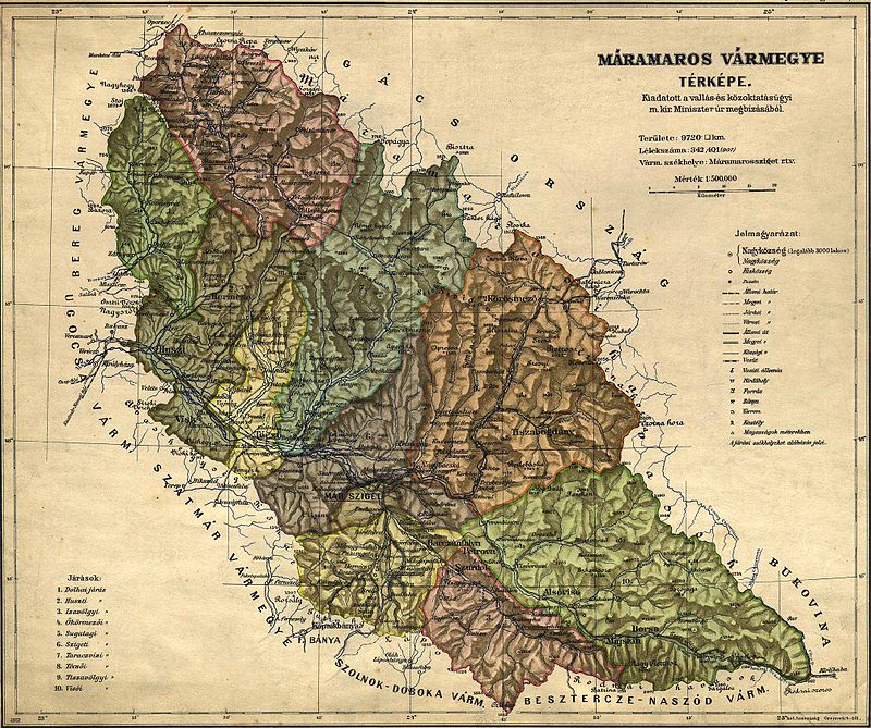
🇷🇴 Teritoriul vechiului comitat Maramureş (cu reşedinţa la Sighet), al treilea ca mărime din Imperiul Habsburgic şi apoi din cel Austro-Ungar: 9 716 km².
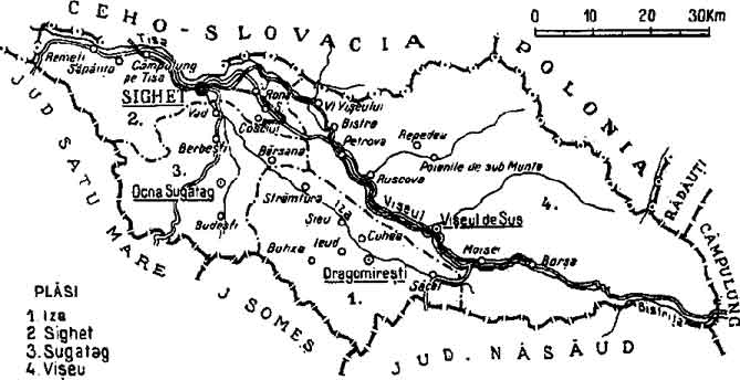
Teritoriul județului Maramureș din perioada interbelică, atunci când a devenit unul dintre cele 71 de judeţe ale României Mari: 3.381 km².
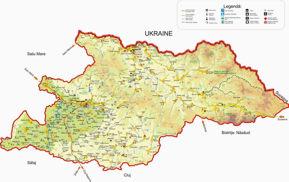
Teritoriul actualului județ Maramureș, cel care a fost creat din pix în anul 1968: 6,304 km².
🇭🇺 A régi Máramaros vármegye területe, amely a Habsburg Birodalomban, majd az Osztrák – Magyar Birodalomban a harmadik legnagyobb volt: 9716 km².
Máramaros megye területe a háborúk közötti időszakból, amikor Nagy-Románia 71 megyéjének egyike lett: 3381 km².
A jelenlegi Máramaros megye területe, amelyet tollból hoztak létre 1968-ban: 6 304 km².
🏴 The old county of Maramures (with its capital at Sighet) was the third largest in the Habsburg Empire, which later on became the Austro-Hungarian Empire, with a size of 9.716 km2. The surface of Maramures shifted in the interwar period, when it became a part of the 71 counties that made up Romania, with a size of 3.381 km2. The modern day territory of Maramures, which was drawn on a map in 1968, has a surface of 6.304 km2.